Charles Clark Forest Reserve
To download a PDF document describing the Charles Clark Forest Reserve project, click on the following link:
Charles Clark Forest Reserve Pamphlet
Information about this Forest Reserve project
Nova Scotia, known as "Canada's Ocean Playground," is one of Canada's least populated provinces, Despite this, it is a very popular destination for international tourists. From the Robert Stanfield International Airport in Halifax, it is only a short and picturesque two-hour drive to reach the property which we call the Charles Clark Forest Reserve.
The Charles Clark Forest Reserve is located west of a town called Tatamagouche, in north central Nova Scotia. This property is located here:
Latitude: 45.68851o North
Longitude: 63.37486o West
Additional maps and directions to this property can be found within the PDF link at the top of this page. If using Google Earth to locate the property, type the following coordinates into the search bar of the Google Earth app: 45.68851, -63.37486
This 110 acre property was granted by the King of England, around 1862, before Canada even started to refer to itself as a country. Since that time, it has only ever had three official "owners" (although we think of them as stewards), all of whom had "Charles Clark" in their names. Incidentally, this property is "the woodlot" which was described in a book called Hard Times by David C. Clark.
Some of the wooded areas on this property have not been harvested in well over a century, and regenerated naturally at the time, thus representing one of the few stands of old growth forest remaining in Nova Scotia. Other parts of this property have stands of varying ages. Our initial surveys of the property identified room for approximately 80,000 additional seedlings, as well as the need for stand-tending treatments in several parts of the property (to remove weed trees). Planting on this property commenced in 2019, and the final phase of planting was completed in the Fall of 2023. In the future, we still want to complete the stand-tending treatments, clean up a lot of damage from Hurricane Fiona, and improve the quality of the trail network (including spreading loads of gravel on some of the trails). We hope to complete all of that work by the Fall of 2027.
Access to this property is quite good. Two edges of this property run along the edge of public access gravel roads that are maintained by Nova Scotia's provincial government. The road running east/west through the property is the Lake Road, which is an all-season provincially maintained gravel road. The road running north/south along the west edge of the property is the Slade Road. This road is suitable for travel in spring/summer/fall, but is not maintained or plowed in winter.
We hope that any members of our community of supporters who visit this property will appreciate the majestic beauty of the existing mature forest, which contains a diverse mix of the following species: Eastern Hemlock, Red Spruce, Balsam Fir, Red Pine, White Pine, Eastern Larch, Red Oak, White Elm, Beech, Trembling Aspen, Balsam Poplar, Horse Chestnut, White Birch, Pin Cherry, Black Ash, Grey Birch, Yellow Birch, White Spruce, Black Spruce, and Red Maple.
Here are some photos from this property:
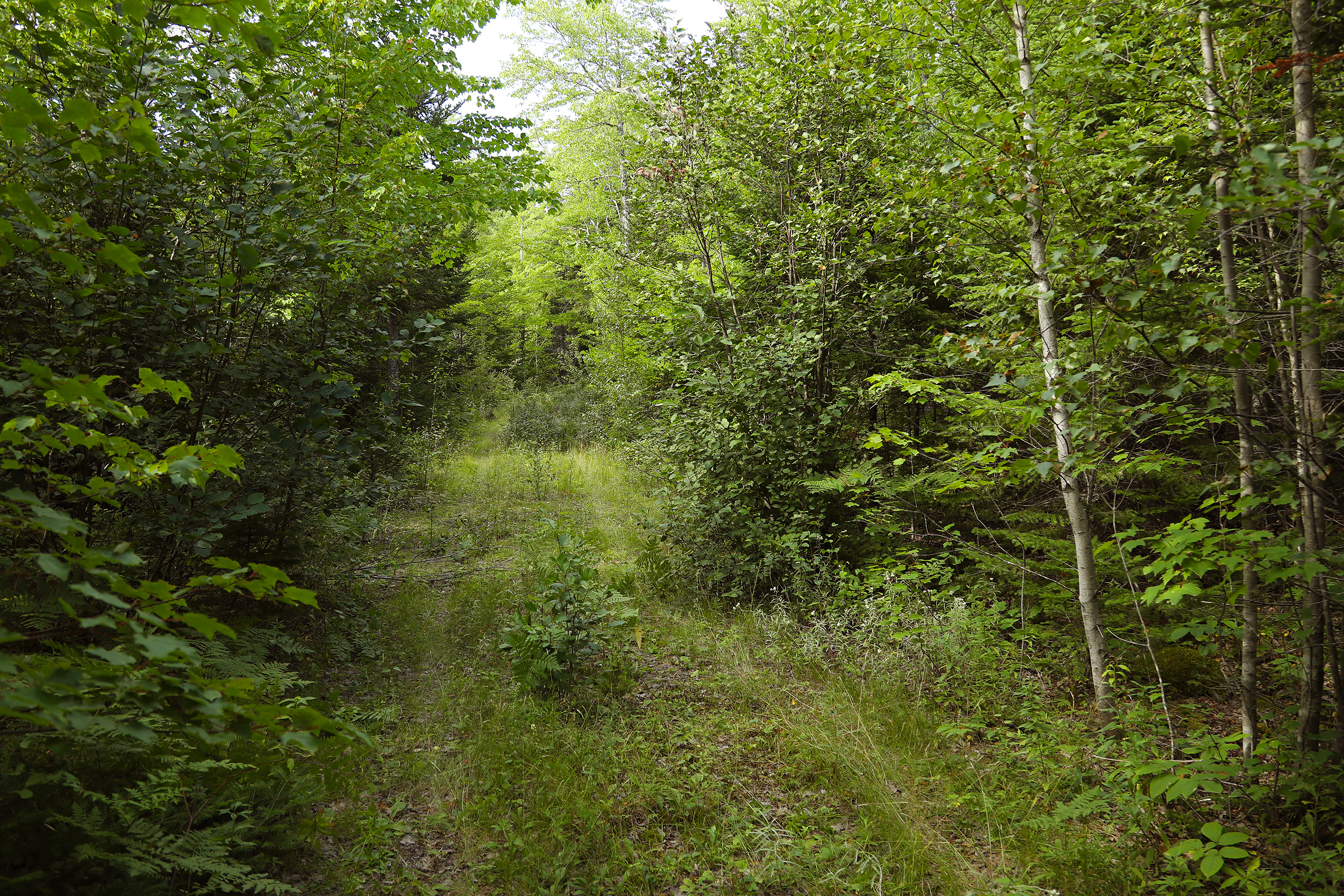
Let's start to explore this forest reserve.
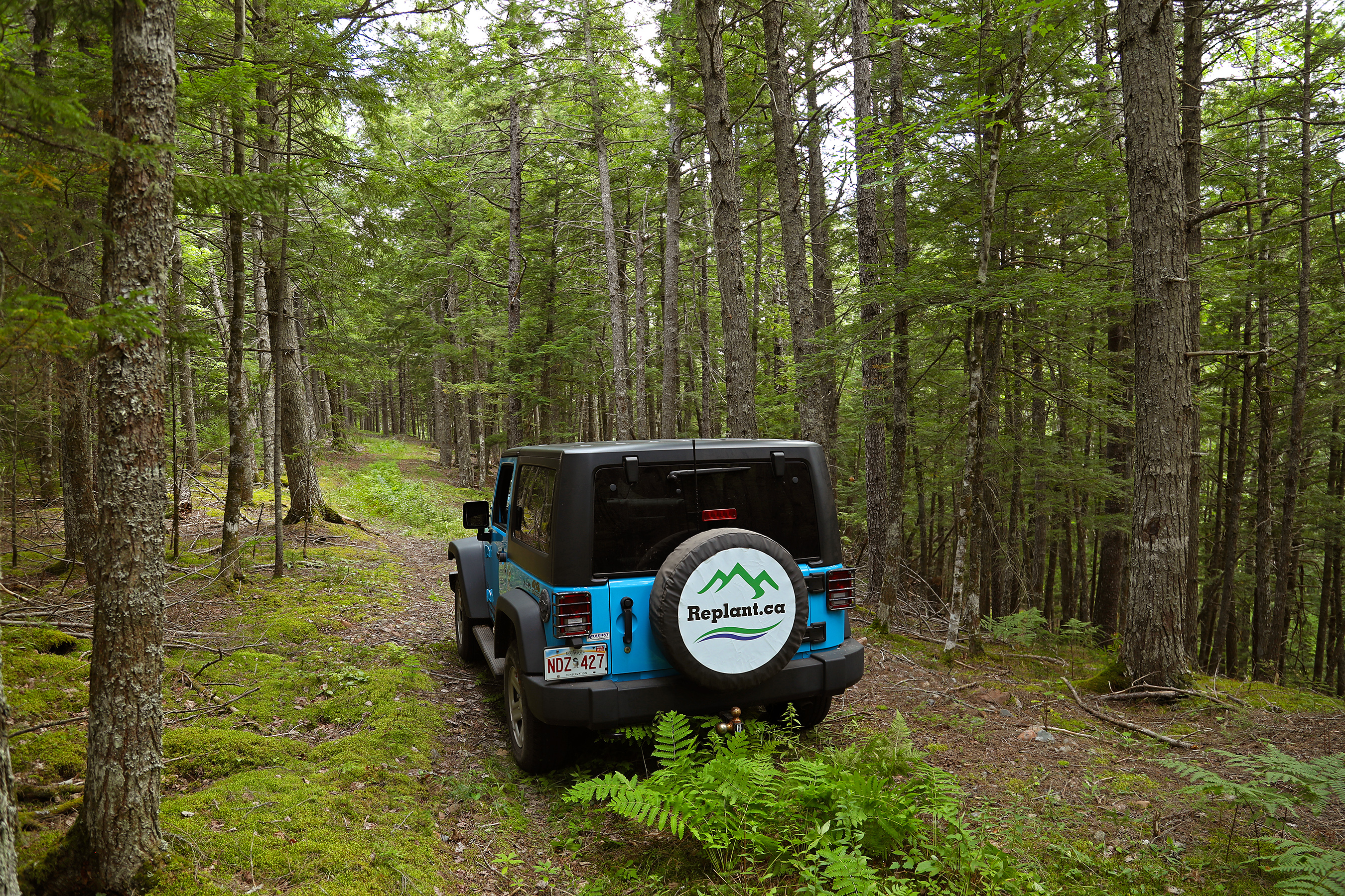
The road network in this property is very sparse, but this part of the system is quite nice. This was a great day for a site visit.

Here's a photograph of the roadway leading into the heart of the north side of the project.
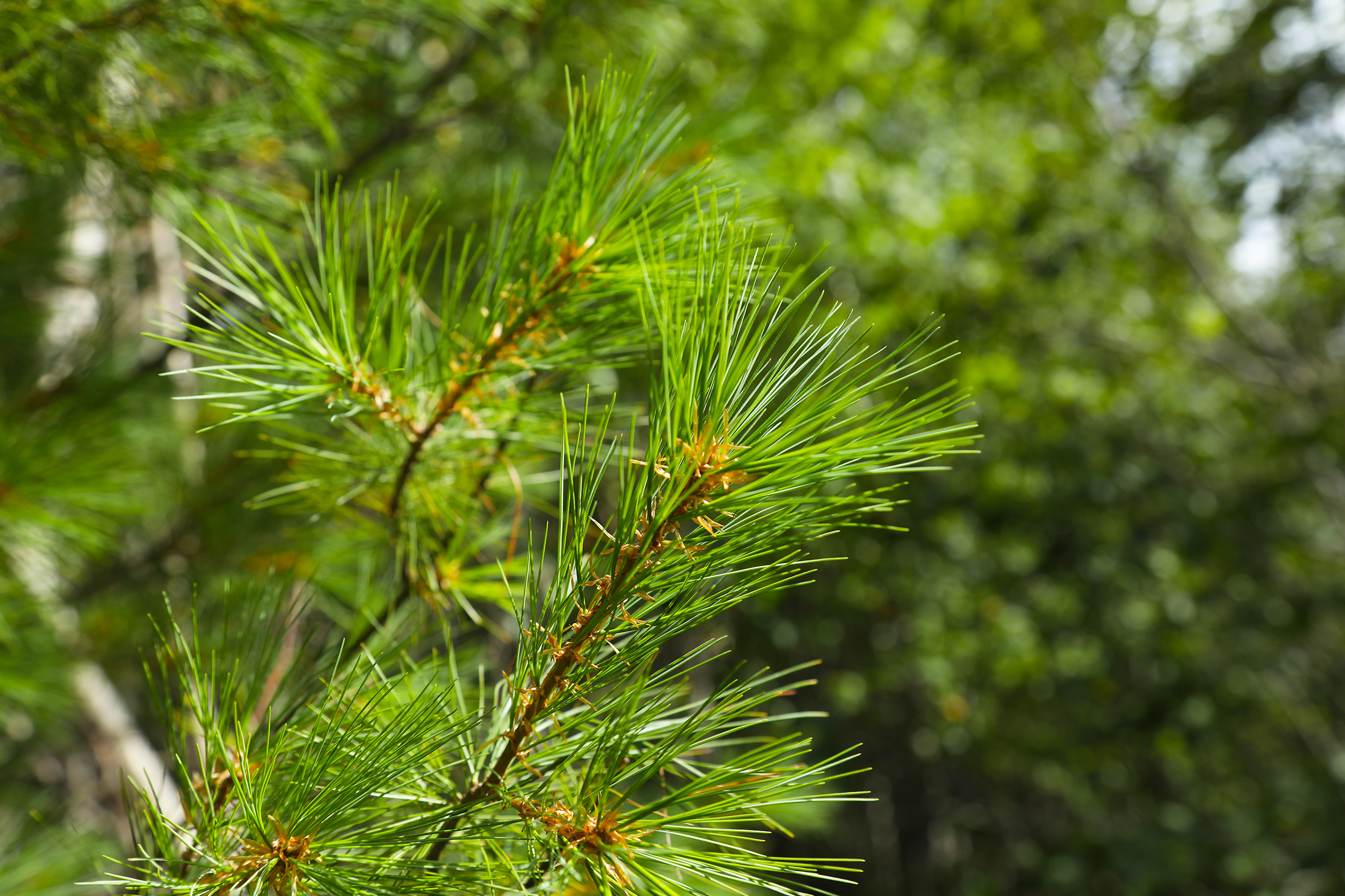
This is a closeup of one of the few mature white pine trees on the property. We planted many thousands of white pine seedlings on the property (plus seven other species) between 2019 and 2023. Eastern white pine is known as a five-needle pine, because each cluster of needles comes in a group of five. There are also some Jack pine in this property. Jack pine is a two-needle pine.
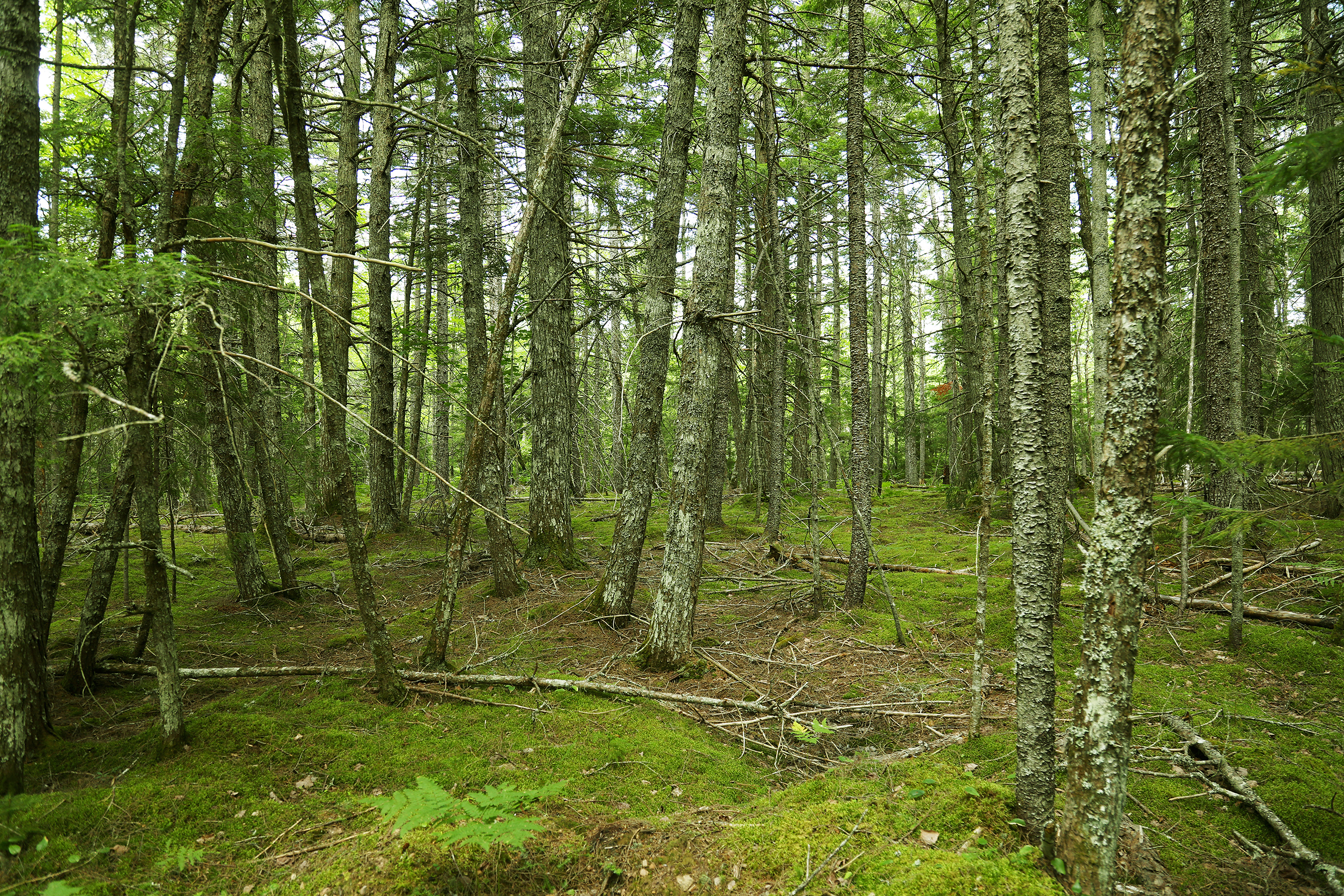
A small part of this property (approximately fifteen acres) is mature hemlock forest that has been untouched for more than a century. This photo was taken in that part of the forest.
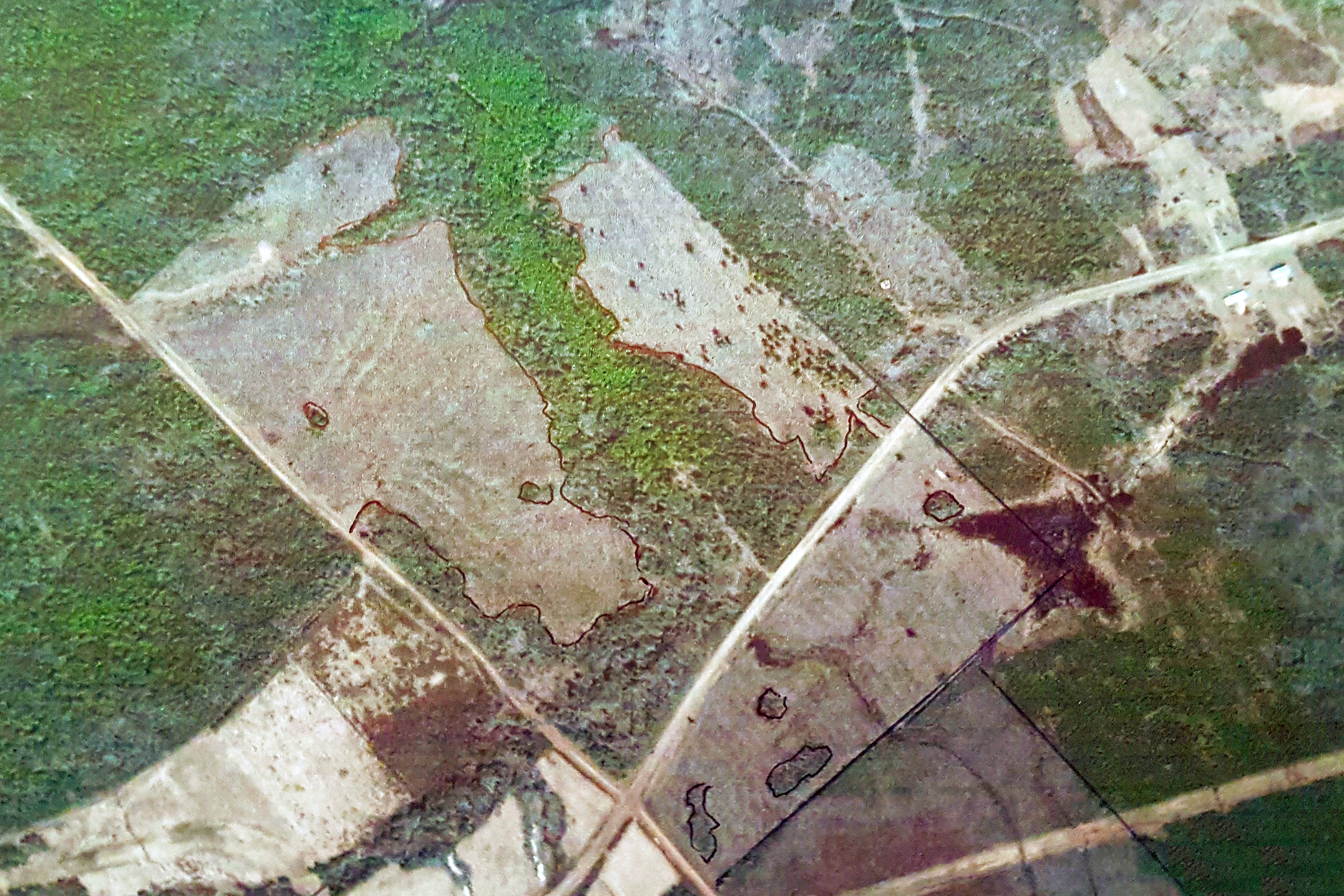
This historical aerial photo shows which areas of this property were harvested a few decades ago. Now that Replant.ca Environmental has initiated management of this property, there will be no more future harvesting. The harvested areas from the 1990's (grey on the photo) are the areas which are being targeted for thinning of undesirable species. These areas have already had an understory planting program (completed in 2023) to add species such as eastern white pine, which are excellent trees when it comes to carbon sequestration and suitability for adverse climate change scenarios.
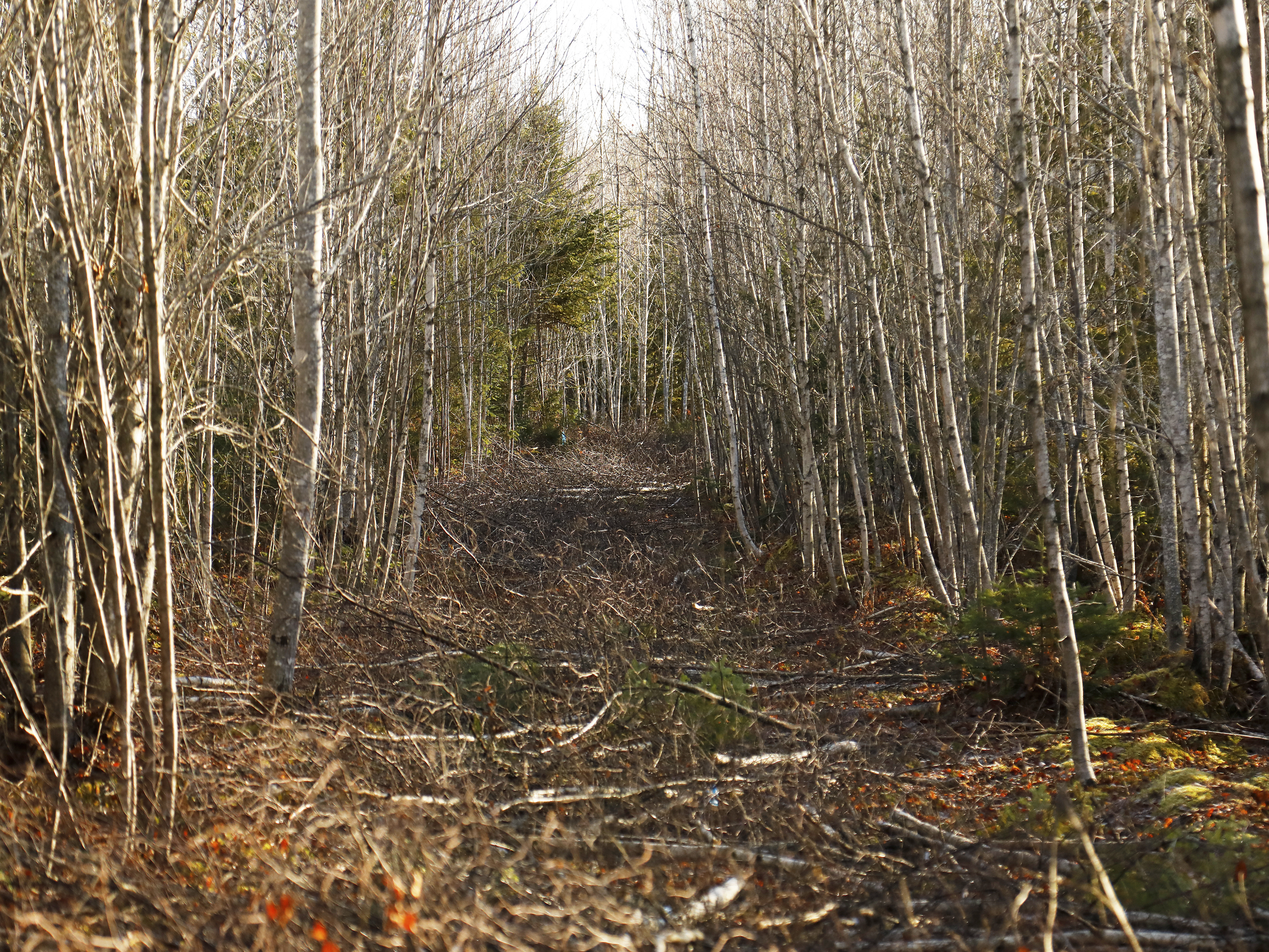
Here's a photo from of one of the trails that we created on the Charles Clark property. It seems counterintuitive to be cutting trees, but don't panic! We planned the trails very carefully to ensure that we didn't remove species which are good for carbon capture. We tried to make sure that we only removed juvenile balsam fir and grey birch when building these trails. This property currently has a lot of grey birch. Grey birch are not a beneficial species because they only grow for about 20-30 years then snap in half in the winter due to weaknesses in their physiological structure. Thankfully, this property also has some yellow and white birch, which both grow up to be majestic trees that we covet.
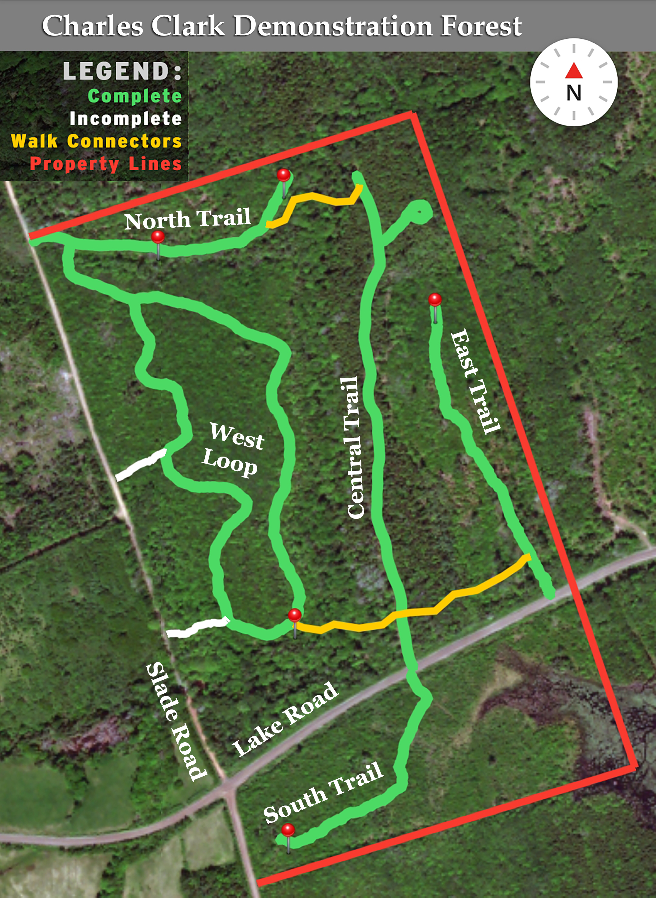
This overview shows our current trail network. The straight red lines are property boundaries. The green lines are trails that have been cleared. The yellow lines are planned narrow connector trails through mature forest. The short white lines are walking shortcuts that we used during trail-cutting work. The red pins are potential locations for picnic tables.
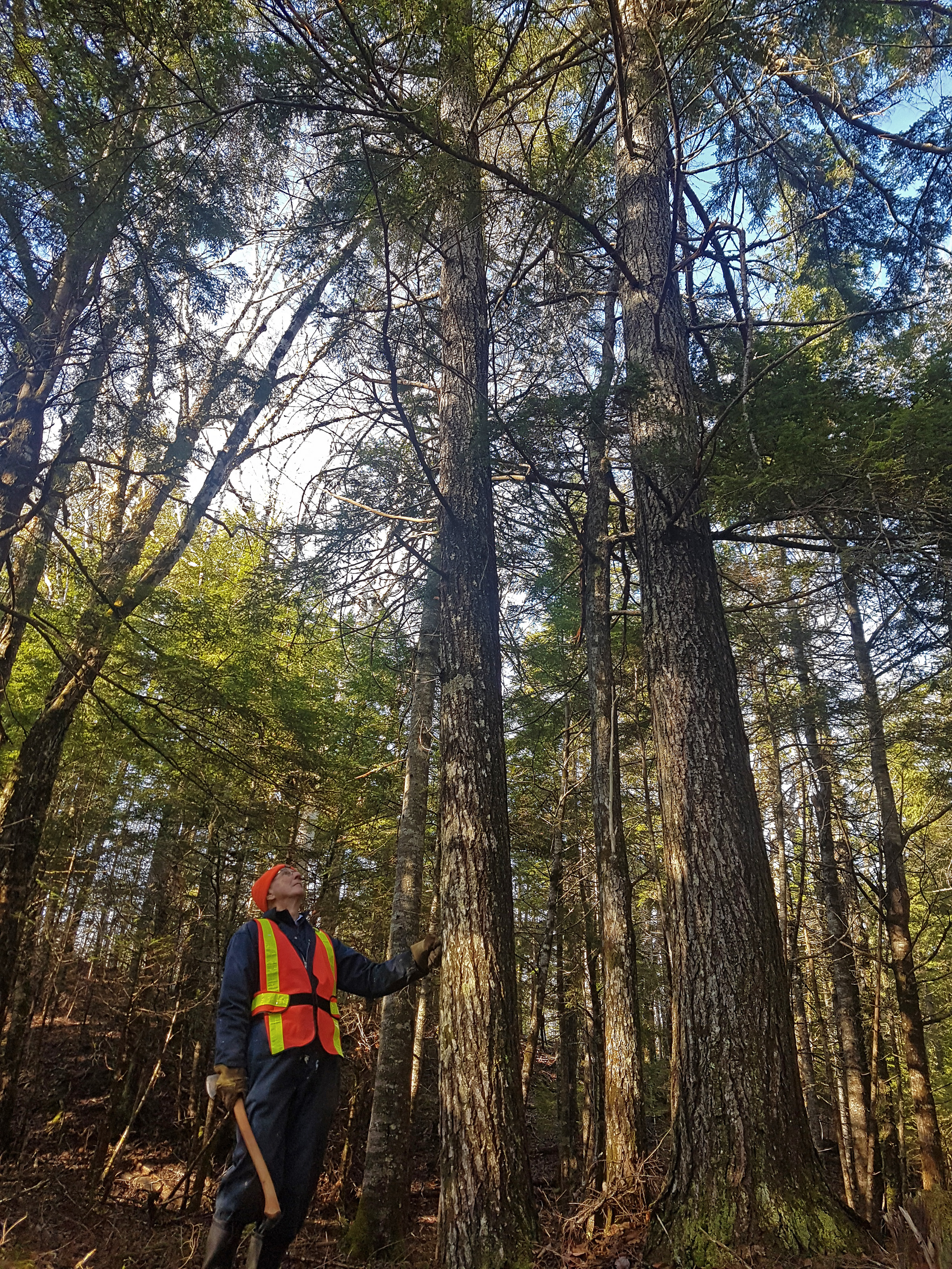
Here's a photo of David Clark (Jonathan's father) looking up at one of the mature hemlocks which has been growing on the property since before his own father (Charles Clark) was born.
Members of the public will eventually be welcome to visit our demonstration forest properties. While every effort is made to ensure the timeliness and accuracy of the information and documents presented on this site, Replant.ca Environmental and its Directors and Officers assume no liability or responsibility for the completeness, accuracy or usefulness of any of the Information. Information (including any revisions and updates) on this site is provided solely for general public information purposes and is provided strictly on an "as is" basis. Visitors to any of our properties do so at their own risk, and agree that neither Replant.ca Environmental nor its Directors or Officers shall be held liable for any injuries or damages to persons or properties as a result of public visits. By visiting one of our properties, all persons accept that there may be risks and safety hazards found upon all properties, which can include but are not limited to: Uneven trail footing, sharp sticks, stumps, inclement weather, dangerous animals (including bears, moose, and coyotes), running and still water, unstable trees, overhead hazards, trip hazards, dehydration, allergens, noxious plants, damage to personal belongings, and the possiblity of getting lost. Visitors to our properties will do their best to minimize and mitigate any potential hazards, and prepare themselves accordingly for visits to our properties, which includes the use of proper footwear, clothing and outerwear that is appropriate for all weather conditions, the potential use of insect repellents, and proper supervision of any children or minors that accompany you to the sites. Visitors to our properties are not allowed to cut trees, and out of respect for the environment and for future visitors, we request that you carry out all garbage that you bring to the site. The use of ATV's, snowmobiles, and other motorized vehicles is restricted in some areas, as per posted signs.
At the present time, until trail building work is complete, we ask that members of the public do not use our sites without requesting a free tour accompanied by one of the members of our organization. This is to help ensure that visitors do not unwitting expose themselves to hazards on site. Our trail systems are currently incomplete, and we are prohibiting motorized traffic from these trails due to the presence of sharp stumps and other dangers. Contact us at any time to request a tour!
If you'd like to see more photos taken at this site, visit our Planting Photos collection on Dropbox. Go into the 2023 sub-folder, and from there, go into the "Charles Clark Forest Reserve" sub-folder. That folder contains several dozen photos taken while our crews were planting the last 32,875 seedlings throughout the understory in October of 2023.